The route I took to the conference was mostly on rail trails. A rail trail is a right-of-way formerly used by a rail line, renovated to be a walking and cycling route. Since rail trains can't handle steep grades, rail trails are almost always without hills of any significant slope. This makes it peaceful and reduces the challenge but can also be boring if you like climbing and descending hills. Rail trails are generally quiet and free of motor vehicle traffic, so they are like havens. There is plenty of wildlife, flora and fauna, to observe and enjoy.
An entrance to the Wallkill Valley Rail Trail is near the house. It's sometimes called a vernal tunnel.
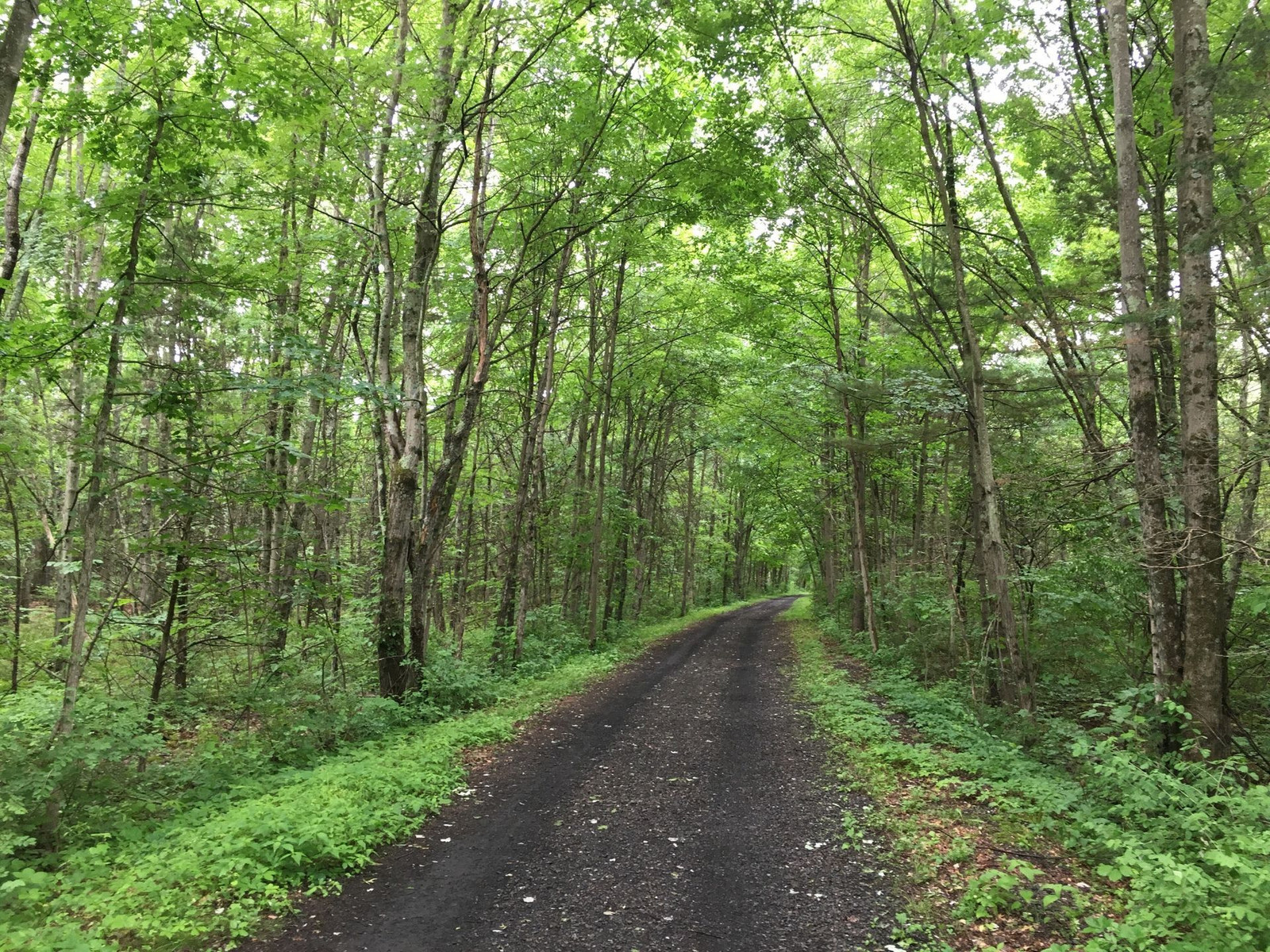
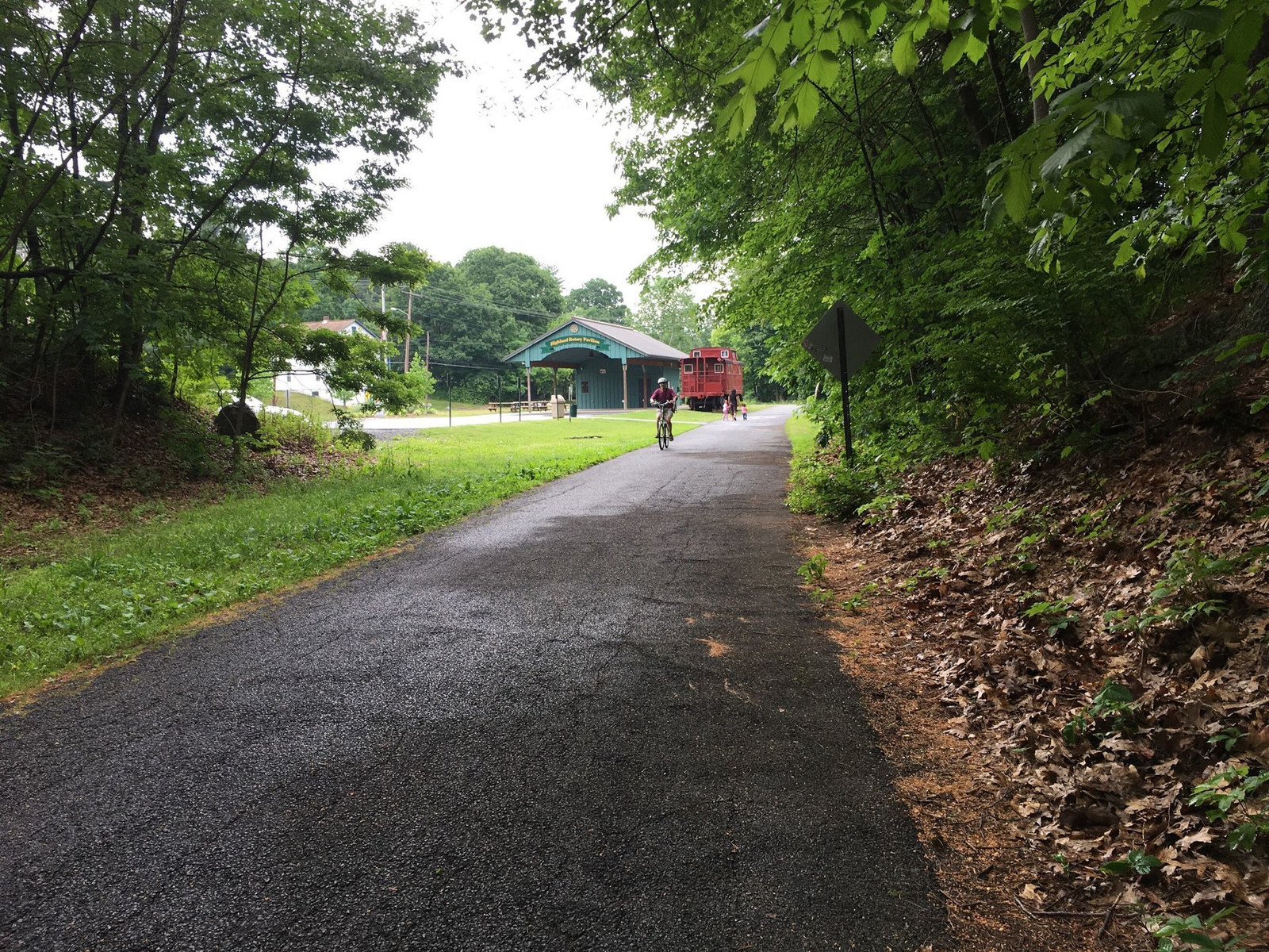
The surface on this trail is soft, with very small rocks. It's not hard to stay upright on this surface, even if you're not a very skilled cyclist.
I needed to be at the conference at 11am on Thursday. Leaving a little extra time at 8:20, the weather was cool and rainy, which I hadn't planned on when I packed my clothes. I found clothes to compensate: I put a lightweight wool shirt over my cycling jersey and a flannel shirt over that. I wore a cotton cycling hat under my helmet. My wife offered to drive me halfway, and I considered the fact that if the rain got heavy and I didn't accept her offer, I might regret it after getting cold and soaked. But the rain didn't last long, and I took off all of those extra layers leaving me wearing just cycling shorts and a cycling jersey. It was a perfect combo.
Here is an obligatory selfie with the cap and helmet, before I removed my extra layers.
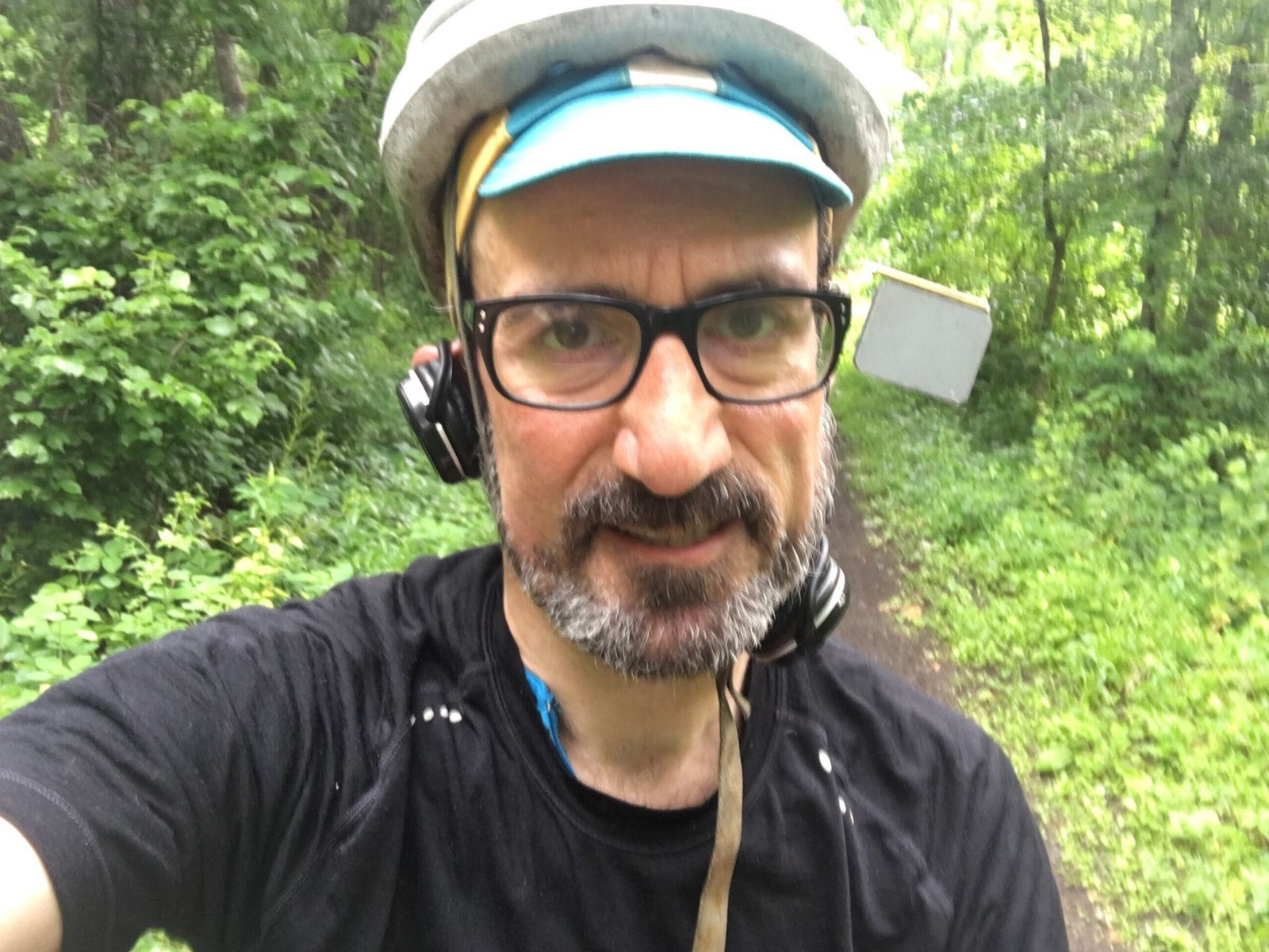
Why do selfies suck most of the time?
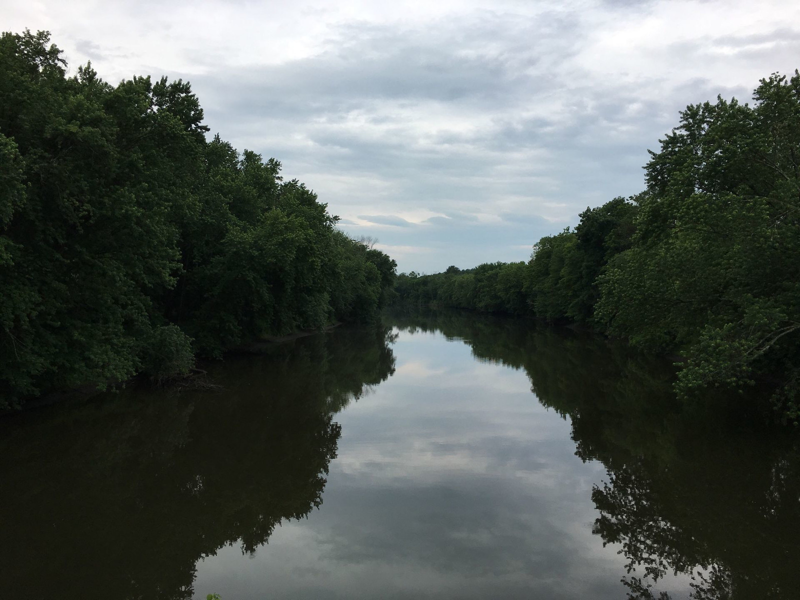
This is the bridge that crosses the Wallkill River
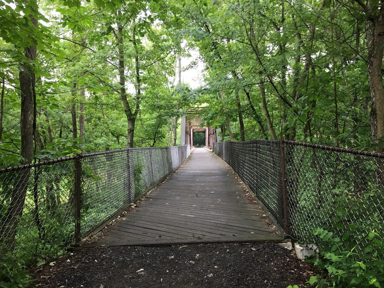
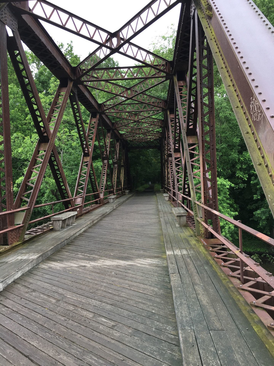
and here is a scene I shot from the bridge.

There are remnants of the former stations along the trail.
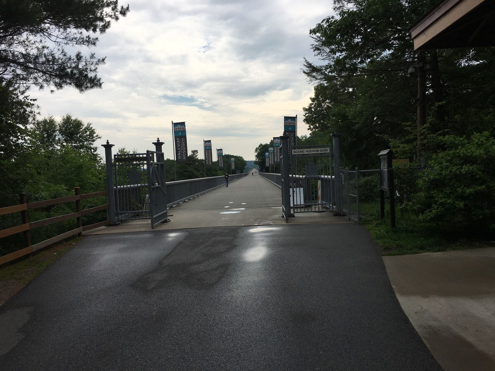
The trail includes the Walkway Over the Hudson, which is the world's longest pedestrian bridge. The Hudson River is about a mile wide.
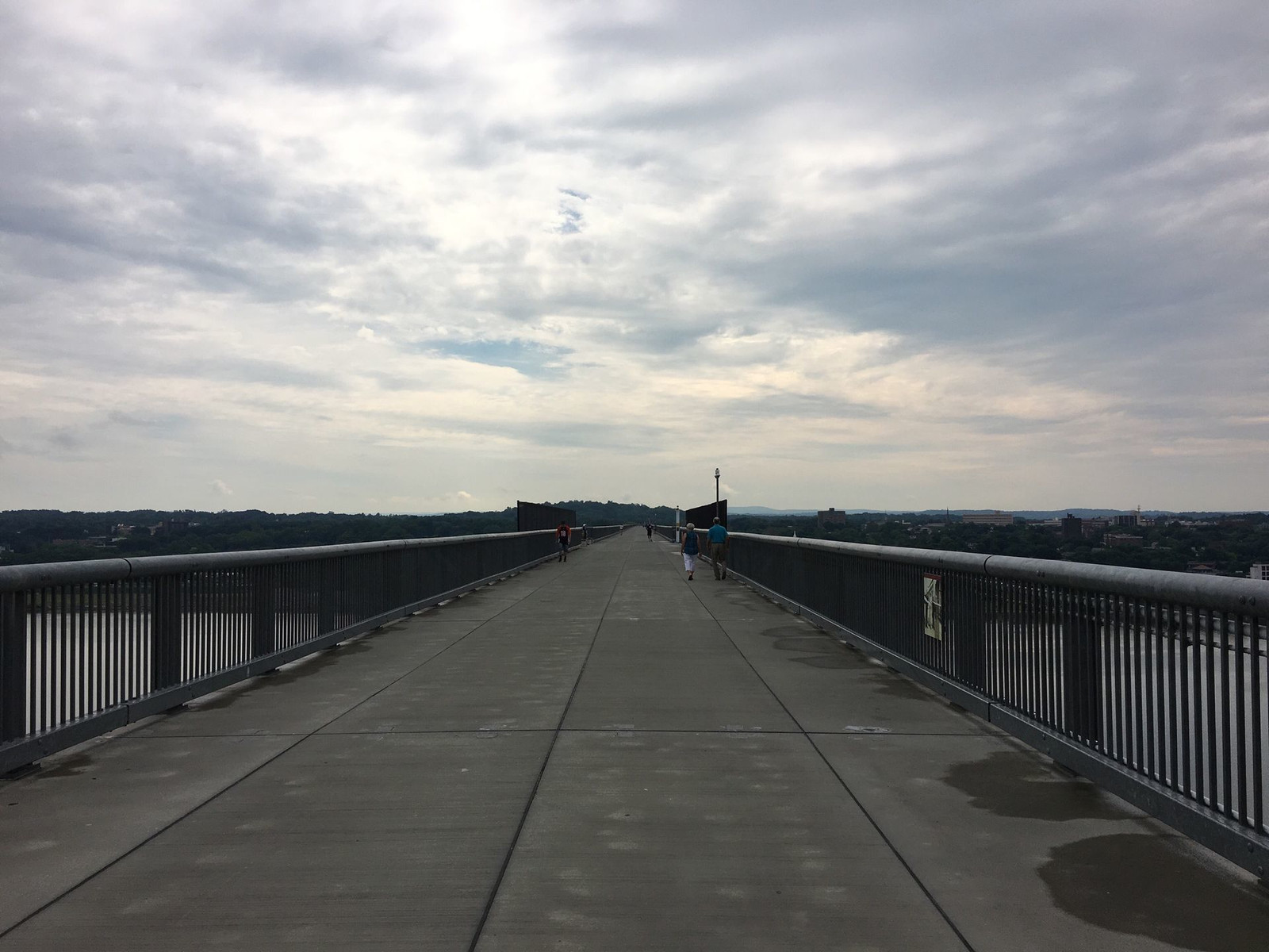
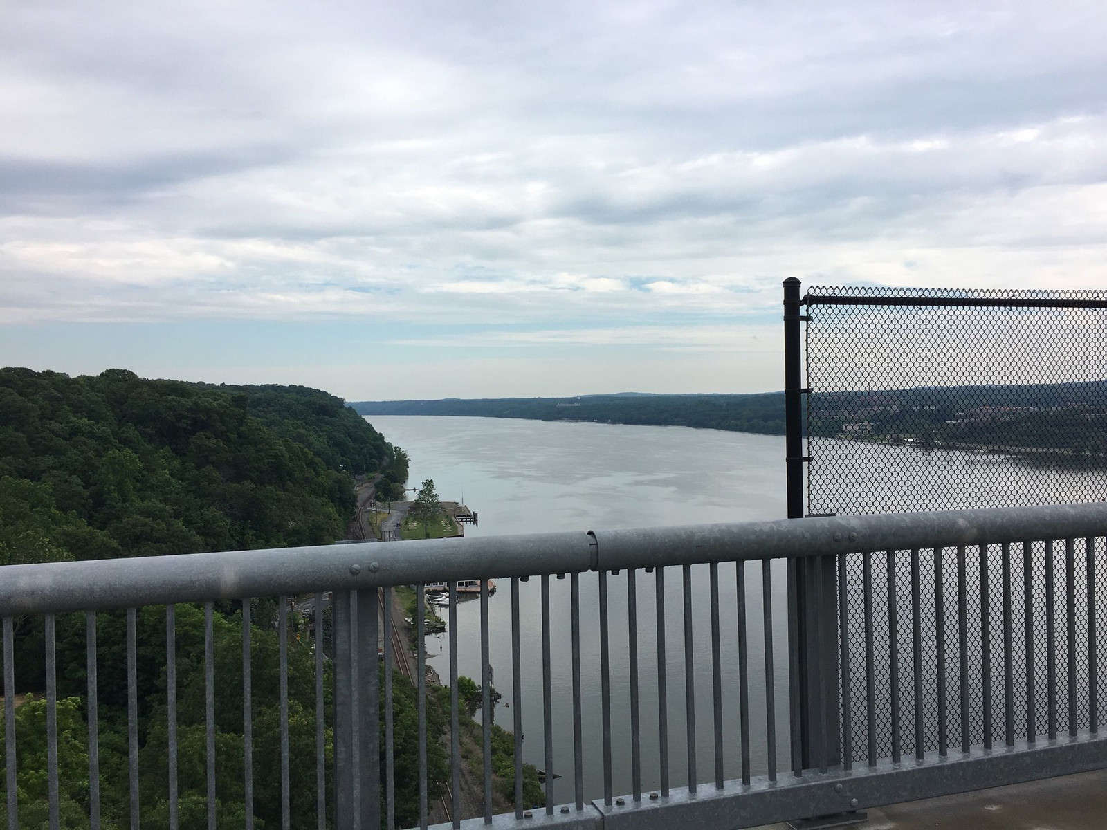
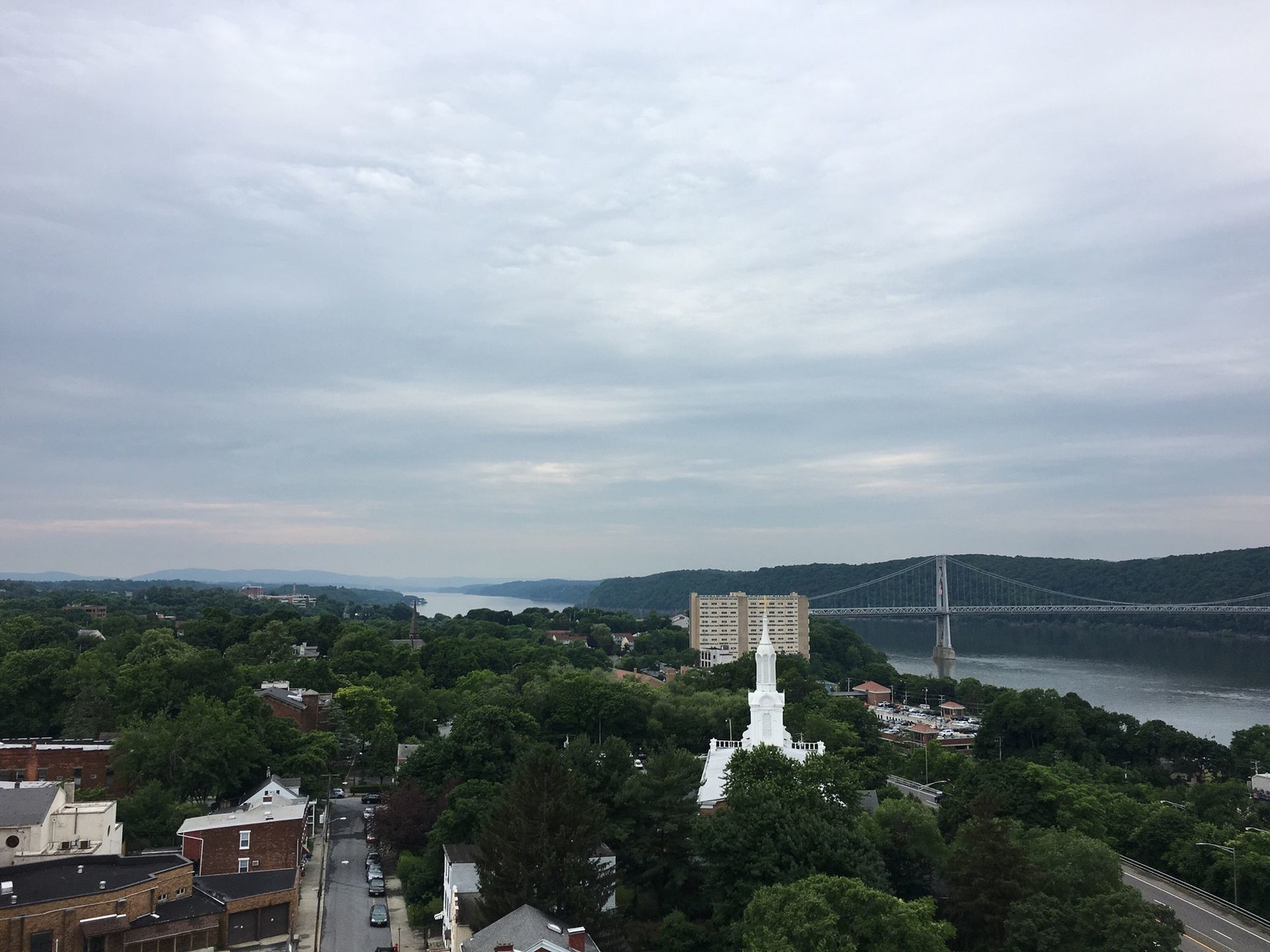
The bridge you see from this bridge is the Mid-Hudson Bridge, which allows motor vehicle traffic.

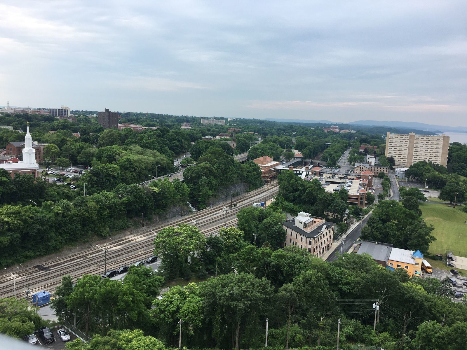
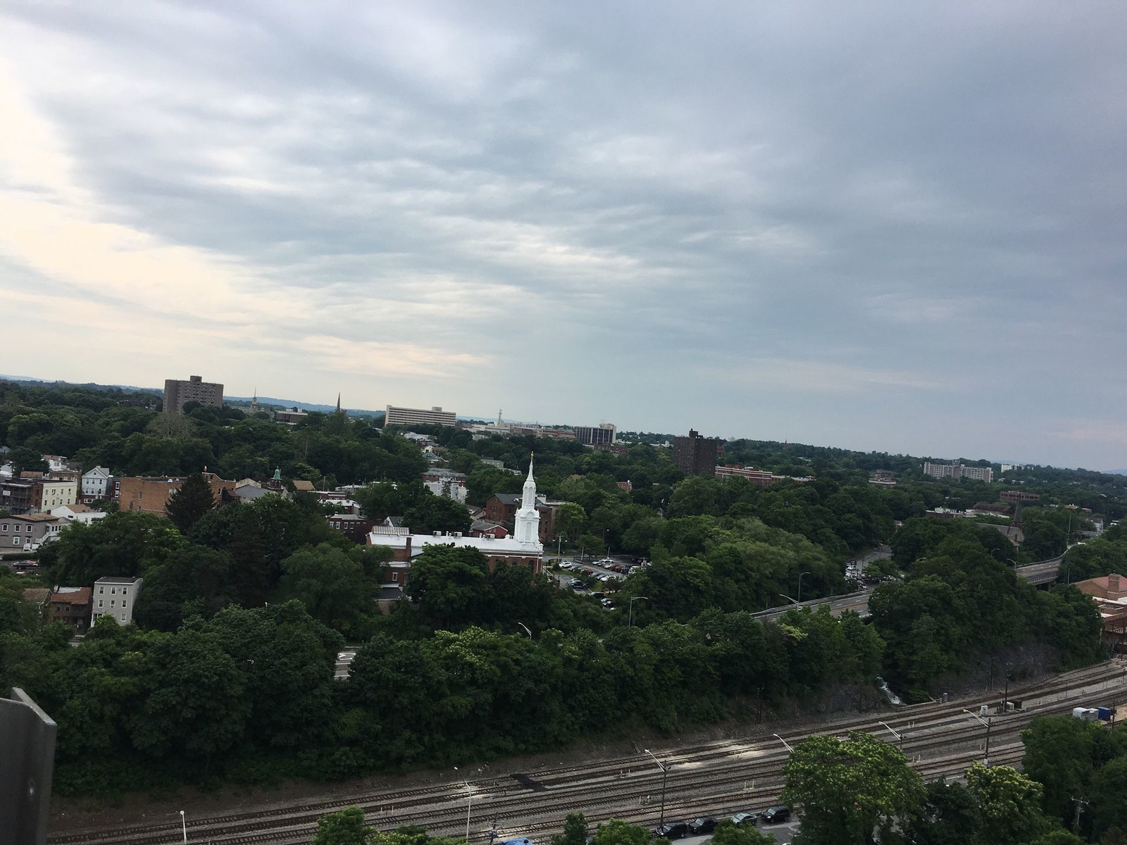
This is Poughkeepsie as seen from the bridge.
Here is Poughkeepsie as seen from the surface of one of its streets. It seems that nearly every house in Poughkeepsie has at least one porch.

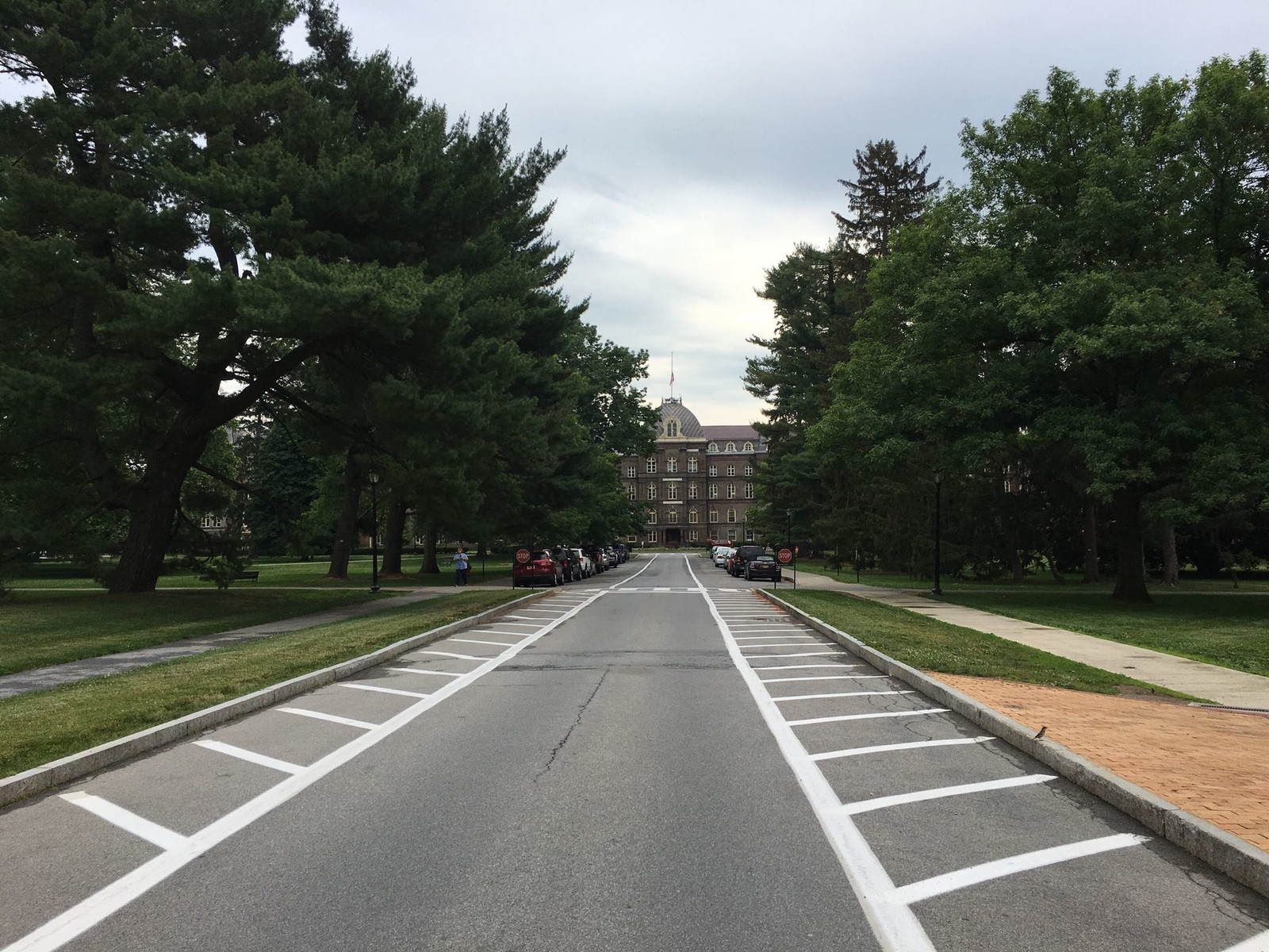
Here is the grand entrance to the Vassar College campus, a spectacularly beautiful place.
Since I hardly did any climbing and I was not in any rush, I arrived quite fresh. It was a 24 mile ride, and you can see an excess of charts and graphs at this link. There is a graph of elevation over distance, where you can see my maximum altitude was about 400 feet. The graph has an error, showing me to be traveling on the river's surface whereas the bridge is actually more than 200 feet up. If you're curious to know how fast I went and all that stuff, click the "Metrics" tab on the right.
The last event of the conference on Thursday was a chance to eat and drink and meet people at the hotel, so I rode 2.8 miles across town to the Poughkeepsie Grand Hotel. Here is that ride's link, and this is my bike, without my luggage, locked to a lame bike rack at Vassar College. I guess bike theft isn't a serious concern at Vassar.

Friday morning, I went back across town to Vassar for the second half of the conference, which included a tour of the college's newest building called the Bridge for Laboratory Sciences. It is called that because the building is placed over a marshy area which would not be able to support a building. The solution was to start with two towers and make the building in the same way suspension bridges are built.
Returning to the house, I decided to try something different. Rather than going around the mountain (the Shawangunk Ridge), I wanted to try going over the top of the mountain. I had ridden up the mountain three times before, always from west to east. This would be my first time doing it east to west and also my first time using a bike heavily laden with luggage which weighed an extra 35 pounds. I'm a pretty good hill climber, and I might not have stopped along the way except I had two small equipment problems (with my derailleurs) and also photo opportunities. The east-west climb is hard because it doesn't have any plateaus; it just keeps climbing, and the grade is often around 9%. That's steep!
If I'm reading the charts right, it took me about 50 minutes to travel the three miles up the mountain, which is about 1,100 feet tall. I'm happy to report that while the roads are narrow and winding, I was not injured by a motor vehicle or by falling during my low speed ascent or my high speed descent. I wasn't exhausted, either.
This is the Walkway Over the Hudson as seen from beneath it, on the Poughkeepsie side.

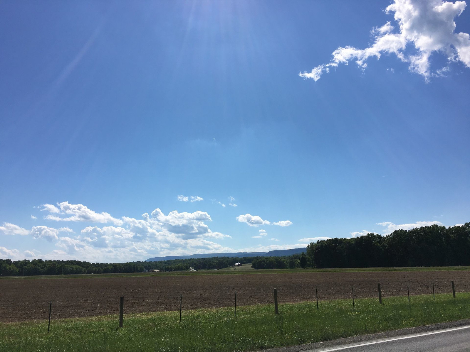
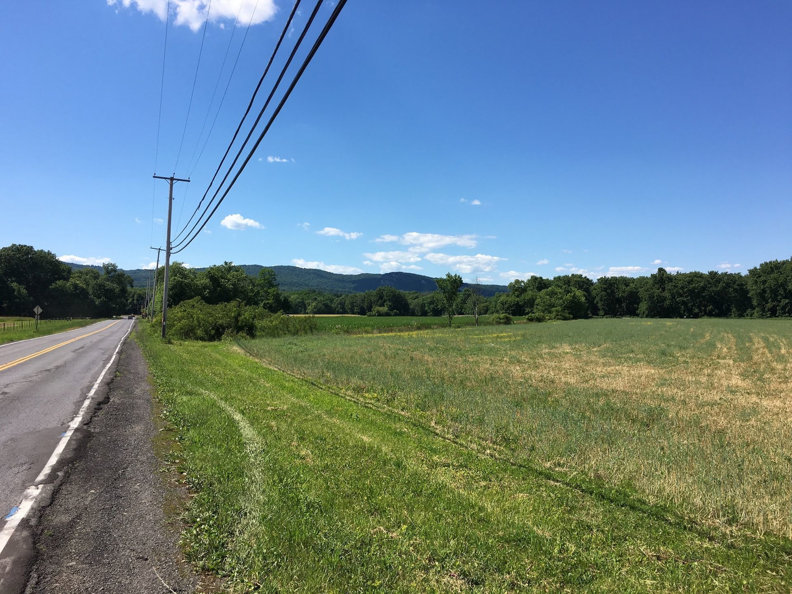
In New Paltz, this is a view of the plain in the foreground and the ridge in the background. I don't think I captured how large it looms. It's very steep.
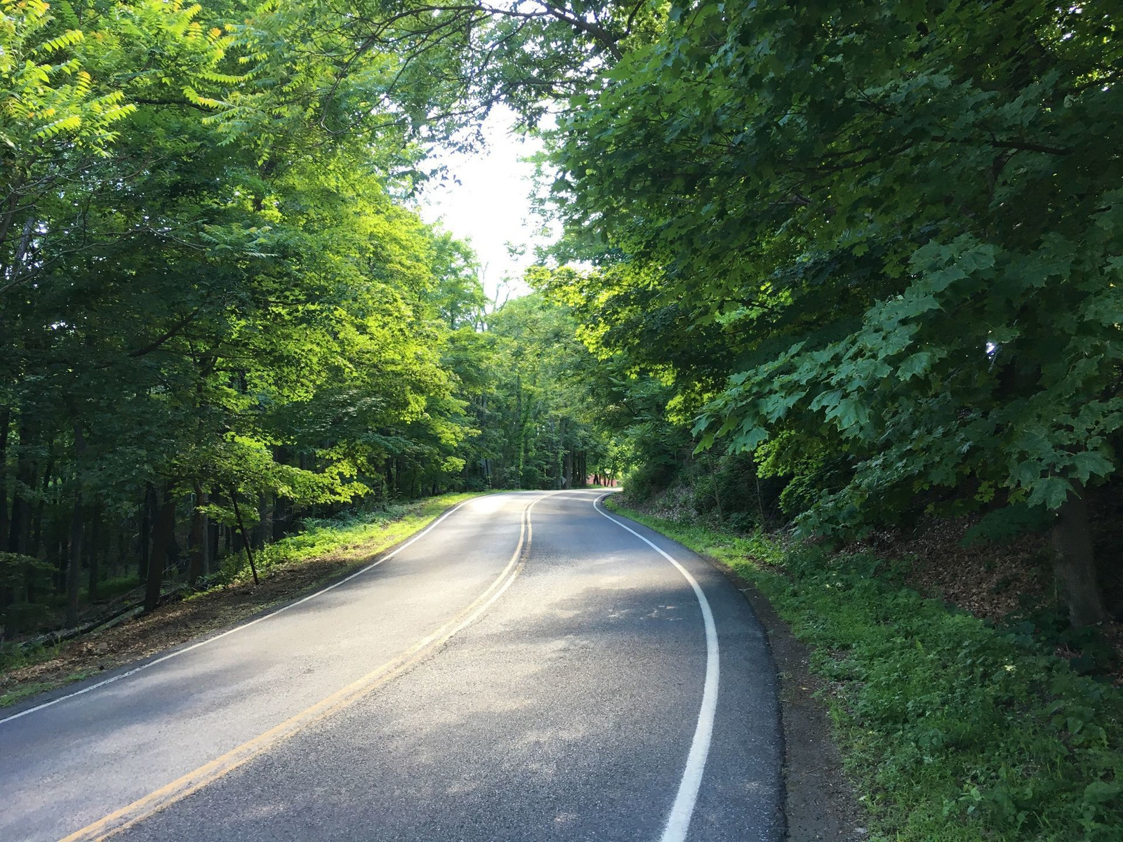
Here is the middle of the climb, and this shot doesn't capture the steepness of the road.
The route I took back was 21 miles, i.e. 3 miles shorter than the route out, and to my surprise, the return trip was three minutes shorter. I thought all that slow climbing would add time to the trip, but I guess the miles I saved made the difference. The trip back was definitely more physically challenging. My average speed over the course, 10.5 mph, was slower than the average going out, 11.7 mph, not surprisingly. I didn't rush on either ride.
Thanks for the travelogue. Great pictures, and that flat bar road bike looks very comfy.
ReplyDeleteThanks for the travelogue. Great pictures, and that flat bar road bike looks very comfy.
ReplyDeleteGood job Tom, I rode most of the miles you charted and think all should experience the tranquil rail trail from New Paltz to Hopewell junction, except on a busy weekend.
ReplyDeleteGreat report, made me feel like I was riding along side you but spared any rainy wetness, LOL
Your own selfies are always lousier than others' ... ;)
ReplyDeleteVery nice report. Regarding selfies - the typical portrait lens is a 80-110mm focal length. This yields a portrait with a "normal" perspective similar to the naked eye. For selfies, a wide-angle lens (<50mm) is almost always used, and this causes distortion (sort of a bulging effect) in the image that is decidedly non-flattering; especially for people with larger noses. :)
ReplyDeleteHow far away should the camera be from the face? Selfies really annoy me.
DeleteBeautiful and peaceful looking ride. Your pictures relaxed me. Loved all the vegetation along the bike trail. People that travel in cars only sure are missing out.
ReplyDeleteThis post is over eight years old, but I'm going to reply, anyway. On two occasions, I started out around 3 am for an educational technology conference 75 miles away, with 3500' of climbing to boot. It was an interesting and enjoyable experience that worked out both times. The biggest issue I had was finding a place to change, as check-in wasn't until the afternoon. That repurposed pedestrian bridge is an interesting inverted truss design. I have long wanted to get down there to ride it.
ReplyDelete